
What Is An Air Mass?
An air mass is a huge body of air, often more than 1,000 miles across, with fairly uniform temperature and humidity at each height. It takes on those traits by sitting over one kind of surface, like an ocean or snowy plain, for days. Air masses are named by moisture and temperature, such as maritime tropical.
Some weeks the air feels like soup. Then one morning you step outside and it is crisp and dry. Nothing magic happened. A different air mass moved in, and it brought its whole personality from where it was born.
Key Takeaways
- An air mass is a very large body of air with fairly uniform temperature and humidity.
- Good source regions are large, uniform surfaces with light winds, often under a stationary high.
- The code uses c or m for moisture and A, P or T for temperature.
- Maritime tropical air from the Gulf supplies moisture for US storms and muggy summers.
- Air masses change as they travel, and the dew point is the best tracer of which one you are in.
Sometimes the weather stays the same for days: humid and hazy, or crisp and dry. Then, in a few hours, everything changes. That change usually marks the arrival of a new air mass. Understanding air masses is the first step toward understanding fronts, the boundaries where much of our active weather happens.
What Is An Air Mass In Weather?
An Air Mass is a huge body of air, often more than 1,500 km (1,000 miles) across and several kilometers deep, with fairly uniform temperature and humidity at any given height. Air masses form when air sits over one kind of surface long enough to take on its character, usually several days to a couple of weeks.
Source Regions
The place where an air mass forms is its Source Region. Good source regions share three traits:
- A large, uniform surface, such as an ocean, a snow-covered plain or a desert.
- Light winds, so air lingers long enough to adjust.
- Often a stationary high pressure system, whose slow, sinking air lets the air mass settle in.
The midlatitudes, including most of the United States, make poor source regions: the surface is varied and storms keep moving air in and out. Instead, the US is a battleground where air masses from elsewhere meet.
How Are Air Masses Classified?
Air masses are named with a two-letter code.
First letter, moisture (where it formed):
- c (continental): formed over land, so it is dry.
- m (maritime): formed over water, so it is moist.
Second letter, temperature (latitude of origin):
- A (arctic): extremely cold
- P (polar): cold
- T (tropical): warm or hot
- E (equatorial): very warm and humid, rarely used in North American analysis
What Are The 5 Air Masses In North America?
Continental Polar (cP)
Continental Polar air forms over central and northern Canada, especially in winter. It is cold, dry and stable. When cP air sweeps south behind a cold front, it brings clear blue skies, low dew points and chilly nights. In summer, cP air is milder and brings the refreshing, low-humidity days that follow a cold front.
Continental Arctic (cA)
Continental Arctic air forms over the Arctic Ocean ice, northern Canada, Alaska and Siberia during the long polar night, when the snow surface radiates heat to space with no sunlight to offset it. It is the coldest air mass on Earth, with surface temperatures of -30 to -50 C. Arctic outbreaks can plunge the Plains below 0 F and send freezes deep into Texas and Florida.
Maritime Tropical (mT)
Maritime Tropical air comes from the Gulf of Mexico, the Caribbean and the subtropical Atlantic. It is warm and very humid, with dew points often in the upper 60s and 70s F. It brings muggy summers east of the Rockies and supplies the moisture for thunderstorms, severe weather and heavy rain. A separate mT source in the subtropical Pacific affects California and the Southwest, notably during the summer monsoon and with atmospheric rivers in winter.
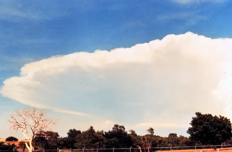
Maritime Polar (mP)
Maritime Polar air forms over the cold waters of the North Pacific and North Atlantic. It is cool and moist. mP air flowing onto the Pacific Northwest brings the region's famous gray skies and drizzle, and heavy snow when it is lifted over the Cascades and Sierra Nevada. Along the East Coast, mP air from the North Atlantic feeds the cold, raw northeast winds of nor'easters.
Continental Tropical (cT)
Continental Tropical air forms over the deserts of northern Mexico and the US Southwest, mainly in summer. It is hot and very dry, with afternoon temperatures that can exceed 110 F and dew points in the 20s or 30s F. When cT air spreads over the southern Plains, it can bring extreme heat and drought. Its sharp boundary with mT air is the dryline, covered later in this unit.
How Do Air Masses Change?
When an air mass leaves its source region, the surface underneath starts changing it, a process called Air Mass Modification.
- Cold air over warm water is heated from below and gains moisture. It becomes unstable, producing cumulus clouds and showers. Lake-effect snow is the classic example: cA or cP air crossing the relatively warm Great Lakes picks up heat and moisture and dumps it downwind.
- Warm air over a cold surface is cooled from below and becomes stable. That can produce widespread fog and low stratus, like the advection fog that forms when mT air glides north over cold ground or cold coastal waters.
- Air crossing mountains loses moisture on the windward side and arrives drier on the lee side.
Meteorologists sometimes add a third letter to describe stability: k for air colder than the surface beneath it (unstable) and w for air warmer than the surface (stable). So cPk is cold polar air heating from below over warmer ground.
Try It Here
Real-World Example: When A Cold Front Reaches The Space Coast
Most of the year, Florida lives in maritime tropical air. Dew points in the 70s, sticky mornings, and plenty of fuel for storms. In the cooler months, a strong cold front can push continental polar air all the way down the peninsula. The dew point falls, the sky turns a deep blue, and suddenly everyone on the beach owns a hoodie.
Watch the dew point, not the thermometer. The temperature swings every day and night, but a sharp, lasting drop in the dew point is the giveaway that a new air mass has arrived.
Common Mistakes
- Myth: Air masses form over the middle of the United States. Fact: The central US is a poor source region. Varied surfaces and moving storms keep air from settling, so it mostly receives air masses from elsewhere.
- Myth: Temperature is the best way to tell which air mass you are in. Fact: Temperature changes from day to night. The dew point stays fairly steady until a new air mass arrives, so it is the better tracer.
- Myth: An air mass keeps its traits no matter where it goes. Fact: The surface below modifies it. Cold air over warm water becomes unstable, and warm air over cold ground becomes stable and foggy.
Go Deeper: Air Mass Modification And Stability
Modification works through surface fluxes of heat and moisture. When cold air crosses warmer water, sensible and latent heat fluxes warm and moisten the lowest layer, steepening the lapse rate and destabilizing the column. Over the Great Lakes, a lake-to-850 mb temperature difference of roughly 13 C or more, about the dry adiabatic lapse rate over that depth, is a common rule of thumb for lake-effect snow potential.
The reverse case, warm moist air moving over a colder surface, cools the air from below, builds a surface-based inversion and stabilizes the layer. If the air cools to its dew point, the result is advection fog or low stratus. The k and w suffixes in air mass notation capture exactly this: whether the air is colder or warmer than the surface beneath it, and therefore whether it is being destabilized or stabilized.
Check Yourself
No grades, no sign-in. Pick an answer and see how you did. The app keeps score for you and tracks your progress.
1 What does the first letter "m" in an air mass code mean?
Show The Answer
Maritime, formed over water and moist The first letter describes moisture: m for maritime (moist) and c for continental (dry).
2 Which air mass brings humid, muggy summer weather east of the Rockies?
Show The Answer
Maritime Tropical mT air from the Gulf of Mexico is warm and moist, with high dew points.
3 Why is the central United States a poor air mass source region?
Show The Answer
Varied surfaces and moving storms keep air from settling long enough Source regions need large uniform surfaces and stagnant air; the US mostly receives air masses from elsewhere.
4 What happens when a cold air mass moves over warmer water?
Show The Answer
It is heated from below and gains moisture, becoming unstable Heating and moistening from below destabilize the air, producing showers such as lake-effect snow.
5 Which is usually the coldest air mass in North America?
Show The Answer
Continental Arctic cA air forms over snow and ice during the polar night and can reach -30 to -50 C.
Questions People Ask
What are the main types of air masses?
In North America they are continental polar (cP), continental arctic (cA), maritime tropical (mT), maritime polar (mP) and continental tropical (cT).
What does mT mean in weather?
Maritime tropical: warm, very humid air that forms over tropical water such as the Gulf of Mexico, the Caribbean and the subtropical Atlantic.
Which air mass brings the coldest weather?
Continental arctic air, which forms over snow and ice during the polar night and can reach -30 to -50 C.
What is a source region?
The place where an air mass forms. Good ones are large, uniform surfaces with light winds, often under a stationary high.
Learn More From The Experts
- Air Masses NOAA / NWS JetStream
- How To Read Surface Weather Maps NOAA / NWS JetStream
Air masses are like houseguests. They bring the weather from wherever they came from, and you feel it the minute they walk in. — Jen
