SKYWARN & Storm Spotter Radar Training
02 / SPOTTER / Learn to Read the Storm
Storm spotter radar training connects what you see on a map with what a storm is doing. Use these independent LightningWX exercises to compare reflectivity, Doppler velocity and dual-polarization clues, then test your interpretation.
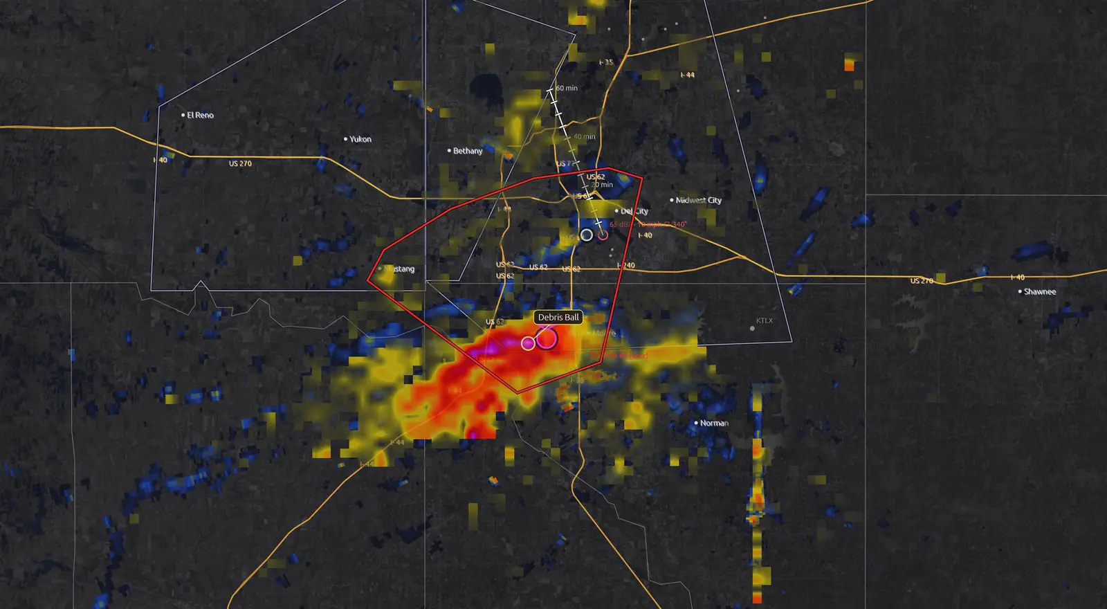
One Storm, Three Radar Clues
This original illustration teaches product differences. It is not live radar or an archived radar scan. Use the layer selector and arrow keys on the timeline.
Reflectivity shows returned radar energy. Strong echoes alone do not prove a tornado.
Read the Layer Walkthrough
Reflectivity: locate the precipitation core and curved hook. Velocity: compare the labeled toward and away lobes; their close spacing can suggest rotation. Correlation coefficient: a local reduction can support a debris interpretation only when it is collocated with strong rotation and meteorological context. Low CC alone can have other causes. The schematic uses blue/orange velocity colors so direction is also conveyed in words.
A Practical Radar Reading Sequence
- Start with time and place. Confirm the radar site, scan timestamp, product and elevation. A beam samples higher above the ground as distance increases.
- Find storm structure in reflectivity. Locate the precipitation core and curved features. A hook can be a useful clue but does not, by itself, confirm a tornado.
- Compare velocity. Nearby toward/away values can suggest rotation. Read the palette and radar position; Doppler velocity measures radial motion rather than the full wind.
- Add dual-pol context. Correlation coefficient (CC) describes similarity among radar returns. Low CC near strong rotation can support a debris interpretation, but nonmeteorological targets and other mixtures can also reduce CC.
- Check official warnings and observations. Use radar to understand the situation while following NWS instructions. Never wait for visual confirmation to act on a warning.
Build a Practice Observation
This exercise creates text in your browser only. It does not submit a report to NWS or the LightningWX community. Use fictional details while practicing.
Your practice report will appear here. No information is sent.
What SKYWARN Training Adds
Official NWS SKYWARN training covers storm development, storm structure, what to observe, how to report and personal safety. Local offices explain local hazards and reporting channels. This page helps with radar interpretation; it does not enroll you, certify you or establish a reporting relationship with NWS.
A tornado watch means prepare. A tornado warning means take action. A warning can be based on radar indication or an observation. Review NWS watch and warning definitions and find your official SKYWARN training.
The LightningWX Spotter Network is a separate member community. Its reports are unverified community observations. The app’s licensed NWS Spotter Reports layer displays a different source of reports; purchasing software does not make a person an official NWS spotter.
Keep Learning With Real Cases
Work through Radar Science, Tornadoes and Weather Safety. Then use a historical case to compare successive scans rather than judging a single image. Describe what the radar supports, what remains uncertain and which observation could help resolve it.
LightningWX’s multi-pane layouts, rotation tracks and 3D tools help organize that comparison. Automated rings and labels are interpretation aids, and radar-derived cloud guidance does not directly photograph a cloud or prove conditions at the surface.
Questions, Answered
How can I learn Doppler radar?
Start with reflectivity, radial velocity, radar geometry and timestamps. Compare products across successive scans, practice on historical cases and use the LightningWX radar science lessons alongside official NWS training.
Does this page certify me as a SKYWARN spotter?
No. This is independent radar education. Contact your local National Weather Service office for official SKYWARN training and reporting procedures.
Does a velocity couplet prove a tornado?
No. A tight pair of toward and away velocities can suggest rotation but needs storm context, geometry and corroborating evidence. Follow official tornado warnings.
Can low correlation coefficient identify tornado debris by itself?
No. Low CC can have several causes. A debris interpretation needs compatible reflectivity, strong collocated rotation and meteorological context.
Get LightningWX for $119 One Time
Launch promotion: $119 one time, through April 4, 2027. Yours forever, with no subscription or renewal. Use your account on up to three desktop PCs. Basic Radar is free forever.
The free five-day desktop trial requires a free account and excludes screenshots, screen recording, Past Storms and NWS Spotter Reports. Those features are included with the license. Eligible license holders can also access the web workstation; browser support and features vary.
Science Behind the Tools
Continue with the NWS Radar FAQ, official SKYWARN program, NOAA NEXRAD archive and NWS lightning safety guidance.
By Jen / GenM Software. Reviewed November 11, 2026. LightningWX is an independent learning and weather-awareness tool.
